
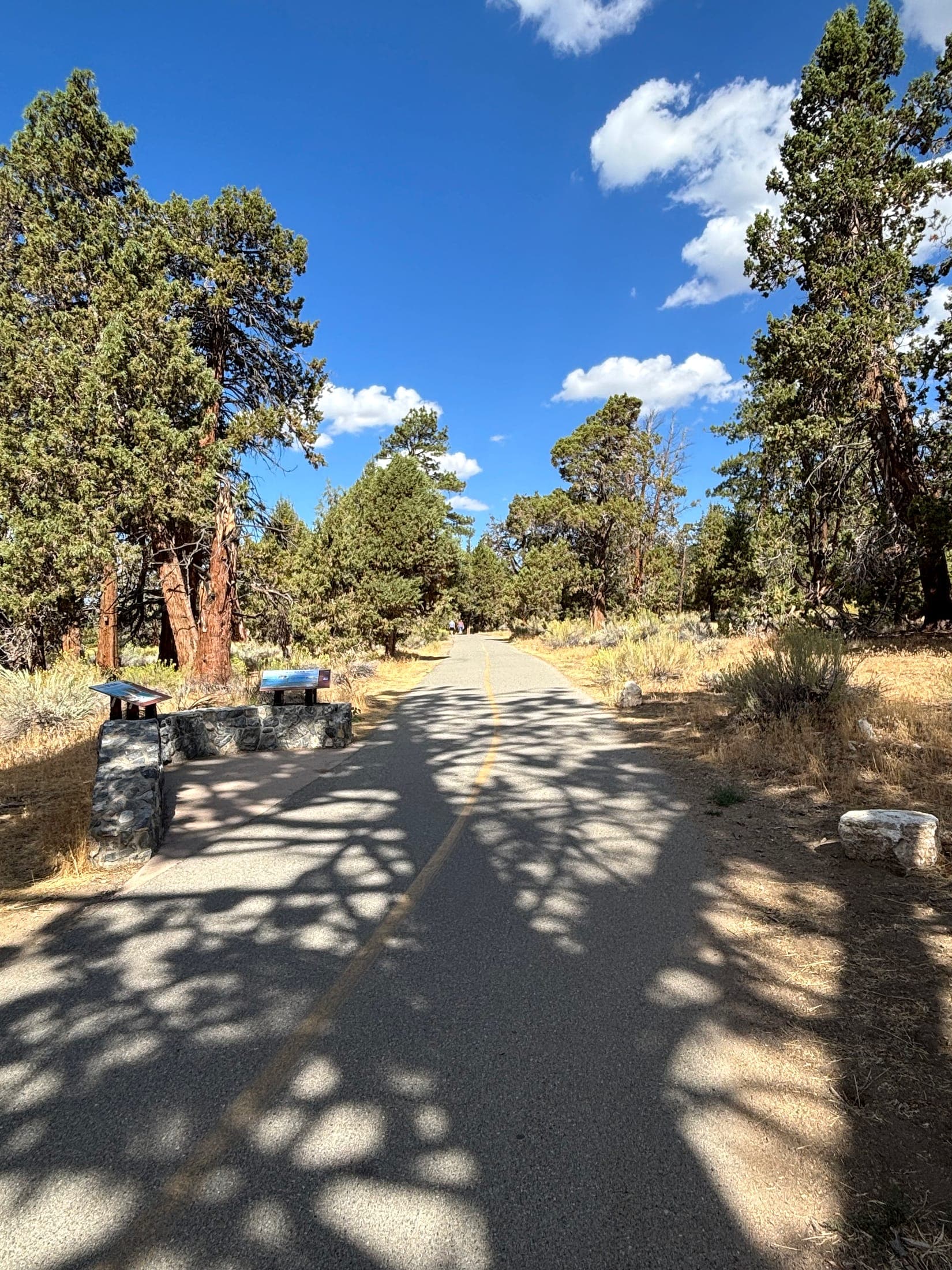
The route, the day, and the people going
Cyndi Lamperts is a REALTOR® with Mountain Top Producers Realty in Running Springs (DRE #02187485). Call or text (949) 338-9308, 8 a.m. to 8 p.m., 7 days a week. License lookup: DRE license lookup. Department home: California DRE. Agent page: San Bernardino Mountains real estate agent.
Always plan around the actual route, current conditions, and the people taking the walk. Check official trail information, weather, daylight, parking requirements, and closures before you leave.
Distance, elevation change, surface, and the date conditions were last checked belong on the official page for that route. Read them again the day you go.
- 1
Read the official page for that route
Trail information, weather, daylight, parking, and closures. Weather: weather.gov. Forest: sanbernardino.
- 2
Match the outing to the people going
An established lakeside walk such as Lake Gregory can be an easier start. Check the surface and the distance. Park information: Lake Gregory Regional Park.
- 3
Check conditions that day
Snow, ice, heat, storm damage, and closures can override the season. Roads: Caltrans QuickMap.
- 4
Tell someone and turn around if you need to
Supplies, a plan, and posted rules. Cell service may not cover the route. Wildlife guidance: California Department of Fish and Wildlife.
An easier outing can start at Lake Gregory
For an easier outing, Cyndi would consider an established lakeside walking area such as Lake Gregory, then check its current conditions and whether the surface and distance fit the visitor.
Easy means different things to different people. Lake Gregory’s current recreation and parking: Lake Gregory Regional Park and Lake Gregory. The lake page: lake gregory.
The month on the calendar is not the trail
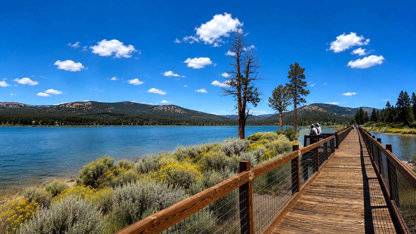
The season alone does not decide whether a trail is suitable. Snow, ice, heat, storm damage, and closures can change the day.
Choose an outing from current conditions. A promise that one trail is always best in a certain month would be a weak plan.
Weather: weather.gov. Forest information: sanbernardino. Winter roads if you are driving to the trailhead: Caltrans QuickMap and winter access.
Before you go
Understand the route, bring appropriate supplies, and let someone know your plan. Cell service is a poor thing to rely on entirely.
Follow posted rules. Turn around if the conditions or the difficulty get ahead of your preparation.
Wildlife along the way: CDFW human-wildlife guidance. At home: living with bears and wildlife.
Walking and hiking questions
How do I plan a hike in the San Bernardino Mountains?
Plan around the actual route, the current conditions, and the people going. Check official trail information, weather, daylight, parking, and closures before you leave. Weather: weather.gov. San Bernardino National Forest: sanbernardino. Roads: Caltrans QuickMap.
What is an easier walk near Crestline?
An established lakeside walking area such as Lake Gregory is a place to consider. Check current conditions and whether the surface and distance fit the people going. Easy means different things to different people. County park: Lake Gregory Regional Park. Operator: Lake Gregory. Lake Gregory: lake gregory.
Is a trail fine just because it is summer or winter?
The season alone does not decide. Snow, ice, heat, storm damage, and closures can change the day. Choose from current conditions.
What should I do before I leave the trailhead?
Understand the route, bring supplies, and tell someone your plan. Do not rely entirely on cell service. Follow posted rules, and turn around if the conditions or the difficulty get ahead of your preparation. Wildlife: CDFW human-wildlife guidance.
Tell Cyndi the kind of day you want outside
A short lakeside walk and a longer trail are different outings. She will help you check the official information before you go.